Boston Logan Airport: Winthrop
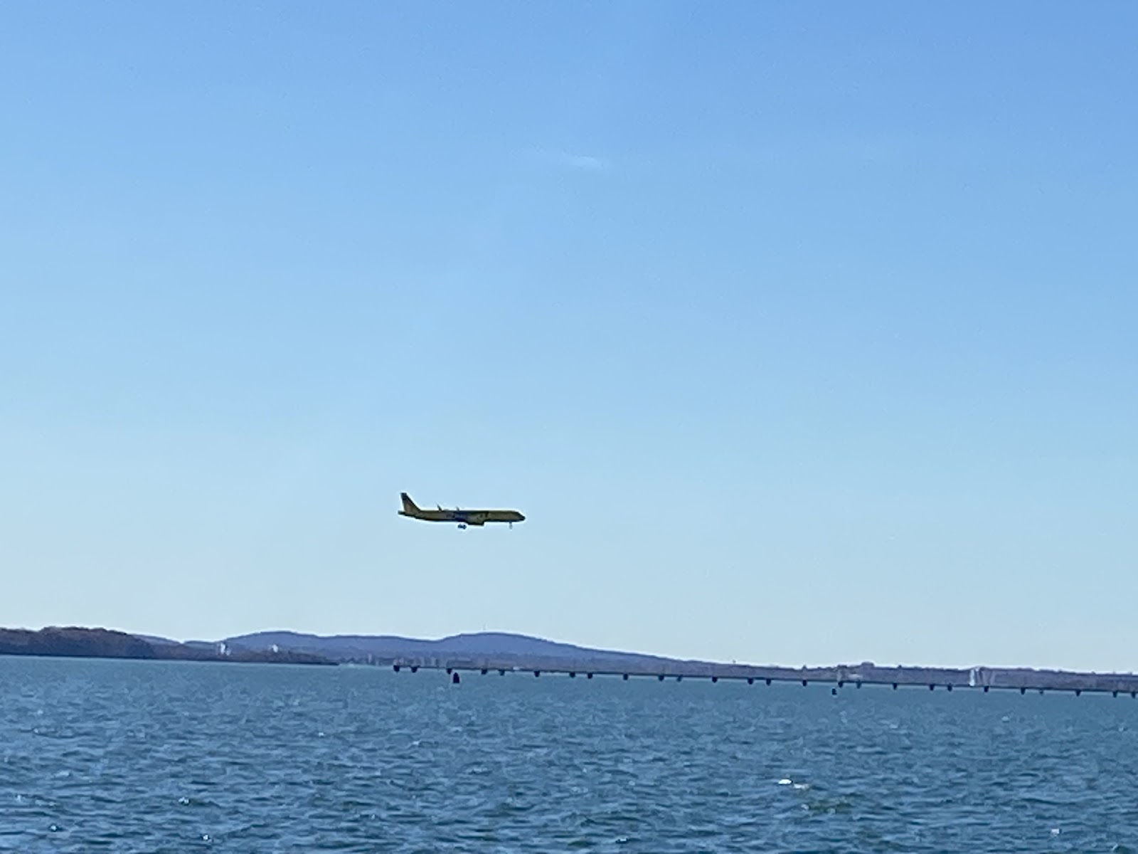
Boston’s Logan airport (KBOS) faces the Boston Harbor. As a result, there are a number of locations surrounding the bay that offers great views of planes taking off and landing. A few notable locations from the NYC Aviation blog ( https://www.nycaviation.com/spotting-guides/bos ) are included for reference. Constitution Beach: https://maps.app.goo.gl/eRdGNRXyNwdJFBiq8 Coughlin Park: https://maps.app.goo.gl/aThV4UM9K75VQ4nt6 , Yirrel Beach: https://maps.app.goo.gl/dEaqpuGybHVp5DWz5 Pleasure Bay: https://maps.app.goo.gl/yuZehuDA6HijjoDe7 Airport Subway East Boston Park: https://maps.app.goo.gl/Ha5FLDeuqhsDBJPz8 Rt 145 Saratoga Road Main St Winthrop: https://maps.app.goo.gl/yfsP6BpQr9YNnhW79 The Route 145 location in Winthop offers great views of both runways for watching planes land and take off. There is street parking available, keeping in mind that this is a residential area. Arriving earlier will allow for f...