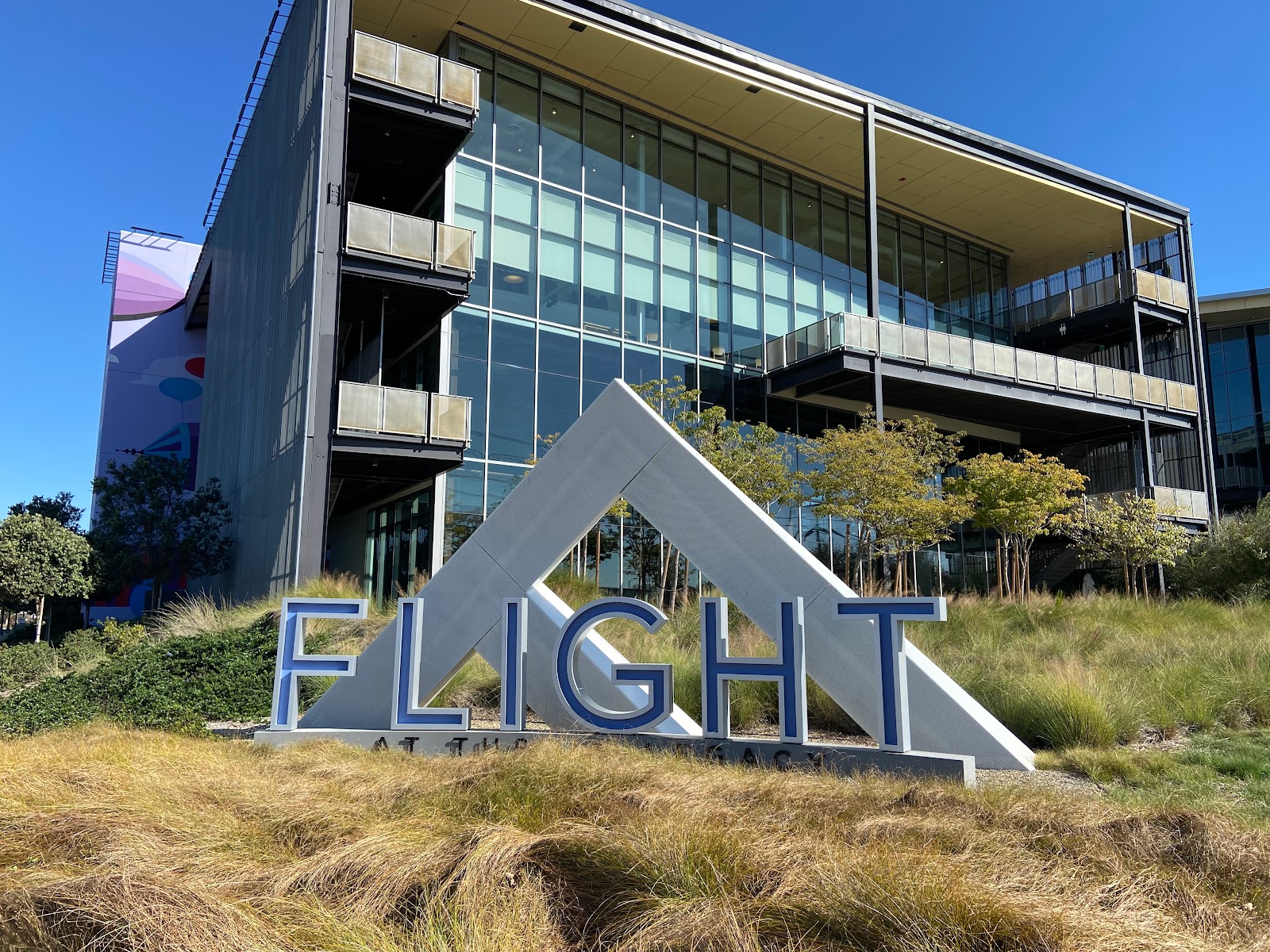
Flight at Tustin Legacy
z Flight at Tustin Legacy: http://flight-tustin.com/
Google Maps mobile link: https://maps.app.goo.gl/SMbx26atPfruT8qm8?g_st=ic
Google Maps web link: https://www.google.com/maps/place/Tustin+Legacy+Park/@33.7056515,-117.844186,17z/data=!4m5!3m4!1s0x80dcdfa0bd1bda9d:0xe9a7fc06dac8eb40!8m2!3d33.7056513!4d-117.84204
Located at the northeast intersection of Barranca Parkway
at Red Hill Avenue, Flight at Tustin Legacy is a mixed-use office park, food
court, and paved paths for pedestrians.
From this location on typical direction days, airplanes can
be seen landing facing westbound.
Pros:
- Abundant parking
- Convenient location
- Public restrooms
- Pet-friendly and family-friendly\
- Plenty of both indoor and outdoor seating at the food court
Cons:
- Food court closed on Sundays and closes early on Mondays
- Limited shelter from rain, albeit Southern California hardly sees any inclement weather


Comments
Post a Comment